
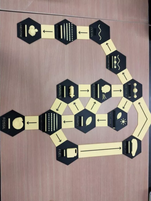
Earth's Layers (zip-Data)

This is a 3D print file for a tactile model representing the main layers of the Earth. The layers are scaled to be easily explored by touch, and each layer is accompanied by a Braille label to support identification and learning. The model includes separate files for each Earth layer and label, as well as a base to hold all parts together. The layers represented are the continental crust, oceanic crust, uppermost mantle, molten asthenosphere, solid asthenosphere, mantle transition zone, lower mantle, molten core, and solid core. The model was designed and tested as part of the 3D4VIP project. Printing instructions and tips: Ensure that the label files (Earth_t_1 to Earth_t_9) are oriented upright on the print bed so that the Braille text is printed vertically rather than horizontally. No support structures are required for any of the components.
- Nutzungsrechte
-
Vervielfältigung und Verbreitung erlaubt. Namensnennung erforderlich. Weitergabe unter gleichen Bedingungen.CC BY-SA
- Herkunftsnachweis
- "Earth's Layers (zip-Data)" von , lizenziert unter CC BY-SA 3.0
- Original-URL
- https://tactiles.eu/3d-model/earth-layers/
Jose Luis Martínez
| Lernressource | Entdeckendes Lernen, Daten |
| Lizenz | CC BY-SA 3.0 |
| Beruf |
|
| Sprache | Englisch |
Medium melden
ähnliche Materialien

Als Anwendung installieren
Installieren Sie HubbS als App für ein besseres Nutzungserlebnis. Mehr erfahren.
Abbrechen